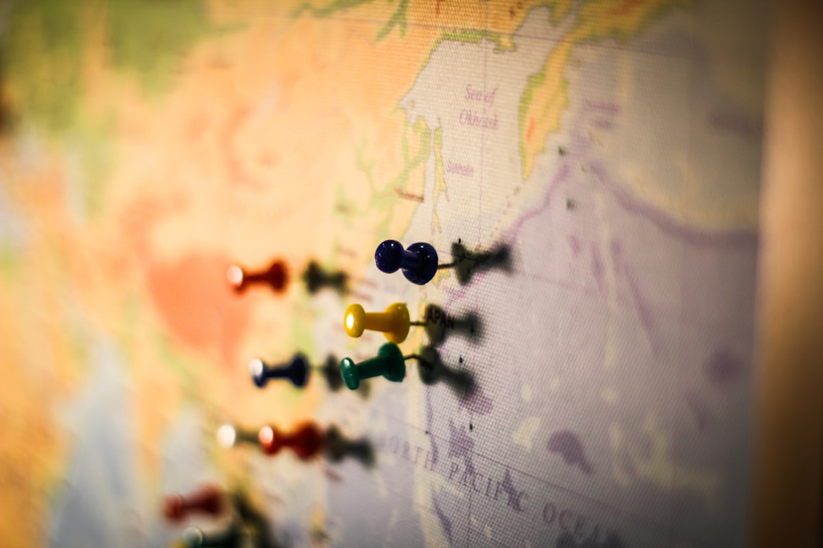
How to Organize Photos by GPS Location [Automatic Sorting for Travel & Location Shoots]
Learn how to automatically organize photos by shooting location using GPS data. Efficiently manage travel photography, real estate shoots, and location-based projects on Mac.
![How to Organize Photos by GPS Location [Automatic Sorting for Travel & Location Shoots]](/images/blog/gps-photo-organization-travel.jpg)
How to Organize Photos by GPS Location
When you return from a trip or a location shoot, how do you organize hundreds or thousands of photos?
"Which ones did I take in Kyoto?" "Where are the exterior shots for that property?"—sorting photos by location manually is incredibly time-consuming.
The good news is that your photos already contain GPS location data (latitude, longitude, and location name) embedded automatically. By leveraging this data, you can achieve automatic organization by shooting location.
This article provides a detailed guide on how to efficiently organize photos using GPS location data, with practical use cases and step-by-step instructions.
What GPS Data Is Stored in Your Photos?
How GPS Metadata Works
Digital photos contain various metadata stored as EXIF information. Among these, GPS-related data is essential for identifying where a photo was taken.
GPS-Related EXIF Data:

- GPSLatitude: 35.6812° N
- GPSLongitude: 139.7671° E
- GPSAltitude: 40.5m
- GPSDateStamp
- GPSTimeStamp
What GPS Data Tells You
- Latitude & Longitude — Pinpoint coordinates of the shooting location
- Location Name — Place or facility name (via reverse geocoding)
- Altitude — Elevation at the time of shooting
By automatically incorporating this data into file names, you can achieve location-based organization effortlessly.
When Is GPS Data Recorded?
iPhone: Recorded by Default
On iPhones and iPads, GPS data is automatically recorded for every photo as long as Location Services is enabled for the Camera app.
iPhone GPS Recording:

✅ Enabled by default (if allowed during initial setup)
✅ High accuracy (Wi-Fi + Cellular + GPS satellites)
✅ Recorded in both HEIC and JPEG
✅ Also recorded in video files (MOV/MP4)
How to verify:
- Settings → Privacy & Security → Location Services → Camera → "While Using the App"
Digital Cameras: Setup Required
For DSLRs and mirrorless cameras, GPS recording methods vary by model.
Models with Built-in GPS
Cameras with Built-in GPS:

- Nikon Z8 / Z9 (built-in GPS)
- Select Canon EOS models
- Many compact digital cameras
Smartphone Pairing (Bluetooth)
Smartphone Pairing Options:

- Canon Camera Connect → EOS R5/R6/R7 etc.
- Nikon SnapBridge → Z series / D series
- Sony Imaging Edge Mobile → α series
- FUJIFILM Camera Remote → X/GFX series
Setup Tips:
- Connect your smartphone via Bluetooth before shooting
- Turn on the camera's "Location Data" setting
- Be aware of slightly increased battery consumption
No GPS Available
GPS data may not be recorded in several situations:
- Camera without GPS and no smartphone pairing
- Location Services turned off on the device
- Indoor or underground shooting where GPS signals are blocked
- Images downloaded from social media (GPS data stripped)
See the "Handling Photos Without GPS Data" section below for solutions.
DockBuddy Organizer's GPS Features
GPS Components Added in v1.2.0
DockBuddy Organizer added GPS location data support for file naming in the v1.2.0 update.
GPS-Related Naming Components:
| Component | Description | Example Output |
|---|---|---|
latitude | Latitude coordinate | 35.6812 |
longitude | Longitude coordinate | 139.7671 |
locationName | Location name | Tokyo |
21 Naming Components
Beyond GPS, you can combine a rich set of components to customize file names:
All 21 Components:

📅 Date/Time: date, time, dateTime
📷 Camera: cameraMaker, cameraModel
⚙️ Settings: iso, aperture, shutterSpeed, focalLength
📐 Image Info: width, height, mediaType
📍 GPS: latitude, longitude, locationName
📁 File: filename, fileType, fileExtension, extensionGroup
🔧 Other: separator, directory, custom text
Save & Switch with Presets
You can save GPS naming rules as presets and switch between them instantly based on the project.
Preset Examples:
- "Travel Photos" →
date_locationName_filename - "Real Estate" →
locationName_date_cameraModel - "Location Scout" →
latitude_longitude_dateTime
Practical Use Cases
Case 1: Travel Photography — Sort by Destination
Challenge:
- 10-day trip across Europe
- Photos taken in Paris, Rome, and Barcelona
- 2,500 shots with iPhone + Canon EOS R5
- Need to organize by city and date
DockBuddy Setup:
Naming Rule:
date + separator(_) + locationName + separator(_) + cameraModel + separator(_) + filename
How to Process:
- Drag and drop your photos onto the DockBuddy Organizer Dock icon
- Set the naming rule with the components above
- Save as a "Travel Photos" preset
- Click Execute
Result:
Before:
IMG_3421.HEIC
IMG_3422.HEIC
_DSC5678.ARW
_DSC5679.ARW
IMG_3500.HEIC
_DSC5720.ARW

After:
2026-03-01_Paris_iPhone16Pro_IMG_3421.HEIC
2026-03-01_Paris_iPhone16Pro_IMG_3422.HEIC
2026-03-01_Paris_CanonEOSR5_DSC5678.ARW
2026-03-02_Rome_CanonEOSR5_DSC5679.ARW
2026-03-03_Barcelona_iPhone16Pro_IMG_3500.HEIC
2026-03-03_Barcelona_CanonEOSR5_DSC5720.ARW
Time saved: 2 hours manually → seconds with DockBuddy
Case 2: Real Estate Photography — Sort by Property
Challenge:
- Real estate photographer
- 3–5 properties photographed per day
- Need to separate photos by property
- Must quickly locate files for client delivery
DockBuddy Setup:
Naming Rule:
locationName + separator(_) + date + separator(_) + filename
Result:
Before:
DSC_0001.NEF
DSC_0002.NEF
DSC_0050.NEF
DSC_0051.NEF
DSC_0100.NEF

After:
Shibuya_2026-03-09_DSC_0001.NEF
Shibuya_2026-03-09_DSC_0002.NEF
Shinjuku_2026-03-09_DSC_0050.NEF
Shinjuku_2026-03-09_DSC_0051.NEF
Meguro_2026-03-09_DSC_0100.NEF
With location names at the beginning of file names, sorting by name in Finder instantly groups photos by property.
Case 3: Location Shoots — Precise Coordinate Tracking
Challenge:
- Film/video production location scouting and shooting
- Multiple locations visited in a single day
- Need coordinate-level precision for location records
- Must be able to identify exact shooting spots later
DockBuddy Setup:
Naming Rule:
latitude + separator(_) + longitude + separator(_) + dateTime + separator(_) + filename
Result:
Before:
MVI_0234.MP4
MVI_0235.MP4
MVI_0290.MP4

After:
35.6595_139.7006_2026-03-09-1030_MVI_0234.MP4
35.6595_139.7006_2026-03-09-1045_MVI_0235.MP4
35.6828_139.7527_2026-03-09-1400_MVI_0290.MP4
With latitude and longitude in the file name, you can copy-paste coordinates into Google Maps to revisit the exact shooting location.
Handling Photos Without GPS Data
When GPS Data Is Missing
Not all photos contain GPS data. GPS information will be absent in these cases:
- Camera without GPS and no smartphone pairing used
- Location Services disabled during shooting
- Indoor or underground where GPS signals were blocked
- Editing software removed EXIF data
- Re-downloaded from social media with GPS stripped
Default Values in v1.2.0
DockBuddy Organizer v1.2.0 introduced automatic default values when EXIF data cannot be retrieved.
Default Value Examples:

No GPS data → locationName defaults to empty string or default value
No camera model → "UnknownCamera"
Unknown maker → "UnknownMaker"
Unknown focal length → "0mm"
This prevents file names from breaking or containing blank segments when GPS data is unavailable.
Tips for Managing Photos Without GPS
Method 1: Combine with non-GPS components
Naming Rule:
date + separator(_) + locationName + separator(_) + cameraModel + separator(_) + filename
Photos with GPS data will include the location name, while photos without it will use the default value—allowing batch processing of mixed files.
Method 2: Use different presets
- Photos with GPS → "Travel" preset (includes locationName)
- Photos without GPS → "Studio" preset (date + cameraModel only)
Switching presets takes just a few seconds.
iPhone vs. Digital Camera: GPS Recording Differences
iPhone: Consistently High Accuracy
iPhone GPS Characteristics:

Accuracy: High (Wi-Fi + Cellular + GPS satellites)
Recording: ON by default
Formats: HEIC / JPEG / MOV
Feature: A-GPS (Assisted GPS) for fast positioning
Note: May be off if privacy settings were changed
Photos taken with iPhone almost always include GPS data. No special configuration is needed.
Digital Cameras: Varies Significantly by Model
Digital Camera GPS Characteristics:

Built-in GPS: Limited to select high-end models
Smartphone pairing: Bluetooth connection required
Accuracy: GPS satellites only (may be lower)
Formats: RAW (CR3/NEF/ARW etc.) / JPEG
Note: Increased battery drain, initial pairing may be cumbersome
GPS Recording Best Practices
| Device | Recommended Setup | Difficulty |
|---|---|---|
| iPhone / iPad | Enable Location Services for Camera | Easy |
| Canon EOS | Pair via Camera Connect app | Moderate |
| Nikon Z | Pair via SnapBridge app | Moderate |
| Sony α | Pair via Imaging Edge Mobile | Moderate |
| FUJIFILM X | Pair via Camera Remote app | Moderate |
| GoPro | Enable built-in GPS | Easy |
| DJI Drone | Auto-recorded (flight log linked) | Easy |
Latitude/Longitude vs. Location Name: When to Use Each
Using Latitude & Longitude
Best For:
- Precise shooting location records
- Location scouting coordinate management
- Academic or survey photography
- Google Maps integration

File Name Example:
35.6812_139.7671_2026-03-09_DSC0001.ARW
Pros: High precision, searchable by exact coordinates Cons: Numeric strings are not immediately human-readable
Using Location Names
Best For:
- Intuitive location identification at a glance
- Client deliveries
- Portfolio organization
- Travel photo management

File Name Example:
Tokyo_2026-03-09_DSC0001.ARW
Pros: Instantly recognize the location, easier file management Cons: Cannot distinguish between different spots within the same city
Combining Both
For the best of both worlds—precision and readability:
Naming Rule:
locationName + separator(_) + latitude + separator(_) + longitude + separator(_) + filename

Output Example:
Tokyo_35.6812_139.7671_DSC0001.ARW
Supported File Formats
DockBuddy Organizer supports a wide range of formats including RAW files from major camera manufacturers.
Photo Formats
| Category | Formats |
|---|---|
| Standard | JPG, JPEG, JPE, JFIF, PNG, BMP, GIF |
| Apple | HEIC, HEIF |
| TIFF | TIF, TIFF |
RAW Formats
| Manufacturer | RAW Format |
|---|---|
| Canon | CR2, CR3 |
| Nikon | NEF |
| Sony | ARW |
| FUJIFILM | RAF |
| OM SYSTEM / Olympus | ORF |
| Panasonic | RW2 |
| Universal | DNG |
Video Formats
| Category | Formats |
|---|---|
| Standard | MOV, MP4, M4V, MPEG, AVI |
| AVCHD | MTS, M2TS, AVCHD |
GPS data reading is supported across all formats—from iPhone HEIC to camera RAW files to video.
GPS Photo Organization Workflow
Step by Step
Step 1: Pre-Shoot Preparation
iPhone:
  → Verify Location Services is ON
  → Confirm Camera app has location permission

Digital Camera:
  → Pair with smartphone app via Bluetooth
  → Enable camera's GPS setting
  → Take a test shot and verify EXIF
Step 2: Import Your Files
SD Card / Lightning / USB-C → Transfer to Mac
Gather all files in a single folder
Step 3: Process with DockBuddy Organizer
1. Launch DockBuddy (or keep it in the Dock)
2. Set your naming rule (or select a preset)
3. Drag and drop the photo folder onto the Dock icon
4. Preview the results
5. Execute
Step 4: Done
Processing Example (2,500 travel photos):

Processing time: seconds
Renamed: 2,500 files
With GPS data: 2,100 files (location names applied)
Without GPS data: 400 files (default values applied)
GPS Data and Privacy
When to Be Careful
GPS data is useful, but it's also personally identifiable information.
- Photos taken at home → Your home address could be determined
- Photos of children → Movement patterns could be tracked
- Social media posts → Location data may be publicly visible
Organization vs. Privacy
DockBuddy Organizer only renames files—it does not strip EXIF data. After incorporating GPS data into file names, keep the following in mind when sharing:
- File names may reveal location information
- EXIF GPS data should be removed separately if needed
- Use macOS Preview's "Inspector" to check GPS data before sharing
Pricing
| Plan | Price | File Limit |
|---|---|---|
| Free | $0 | 50 files per batch |
| Pro | $9.99 (one-time purchase) | Unlimited |
Pro is a one-time purchase—no monthly fees ever. Ideal for heavy travel photography and professional shooting workflows.
Summary: Transform Your Photo Organization with GPS
Here's a recap of the key benefits of GPS-based photo organization.
Benefits of GPS Organization
- Automatic sorting by location — No manual file shuffling required
- Location visible in file names — Sort by name in Finder for instant grouping
- Precise coordinate records — Easily revisit or identify shooting locations
- Batch processing at scale — Thousands of files processed in seconds
Why Choose DockBuddy Organizer
- ✅ GPS support (latitude, longitude, locationName)
- ✅ 21 naming components for flexible customization
- ✅ Preset system for saving and switching configurations
- ✅ Drag & drop intuitive operation
- ✅ Wide format support including RAW and video
- ✅ Default values for missing EXIF — GPS-less photos handled gracefully
- ✅ One-time purchase with no subscription fees
Make the most of GPS location data to efficiently manage your travel photography, location shoots, and real estate projects.
Related Articles
- File Organization Using EXIF Information
- How to Auto-Organize Photos by Date into Folders
- Multi-Camera File Organization
Get Started Now
DockBuddy Organizer is available on the Mac App Store.
Experience automatic location-based photo organization powered by GPS data today.